
#flathal #flatstanley #map #70thmeridianwest #chile
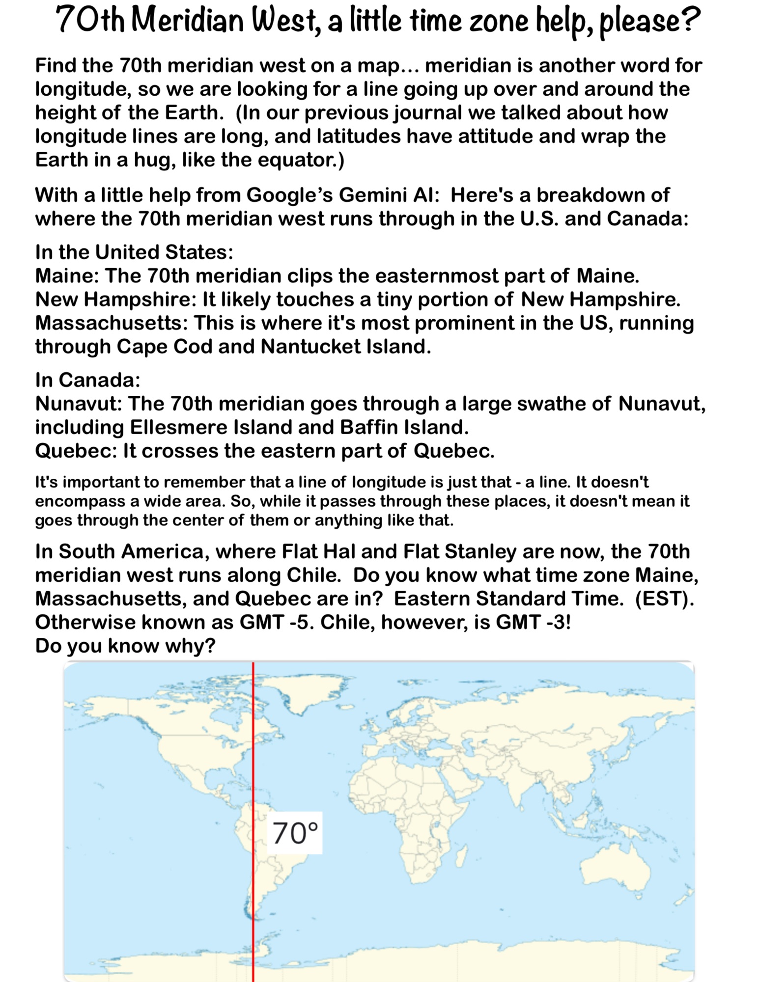
Find the 70th meridian west on a map… meridian is another word for longitude, so we are looking for a line going up over and around the height of the Earth. (In our previous journal we talked about how longitude lines are long, and latitudes have attitude and wrap the Earth in a hug, like the equator.)

With a little help from Google’s Gemini AI: Here’s a breakdown of where the 70th meridian west runs through in the U.S. and Canada:
In the United States:
Maine: The 70th meridian clips the easternmost part of Maine.
New Hampshire: It likely touches a tiny portion of New Hampshire.
Massachusetts: This is where it’s most prominent in the US, running through Cape Cod and Nantucket Island.
In Canada:
Nunavut: The 70th meridian goes through a large swathe of Nunavut, including Ellesmere Island and Baffin Island.
Quebec: It crosses the eastern part of Quebec.
It’s important to remember that a line of longitude is just that – a line. It doesn’t encompass a wide area. So, while it passes through these places, it doesn’t mean it goes through the center of them or anything like that.
In South America, where Flat Hal and Flat Stanley are now, the 70th meridian west runs along Chile. Do you know what time zone Maine, Massachusetts, and Quebec are in? Eastern Standard Time. (EST). Otherwise known as GMT -5. Chile, however, is GMT -3!
Do you know why?