
#flatstanley #flathal

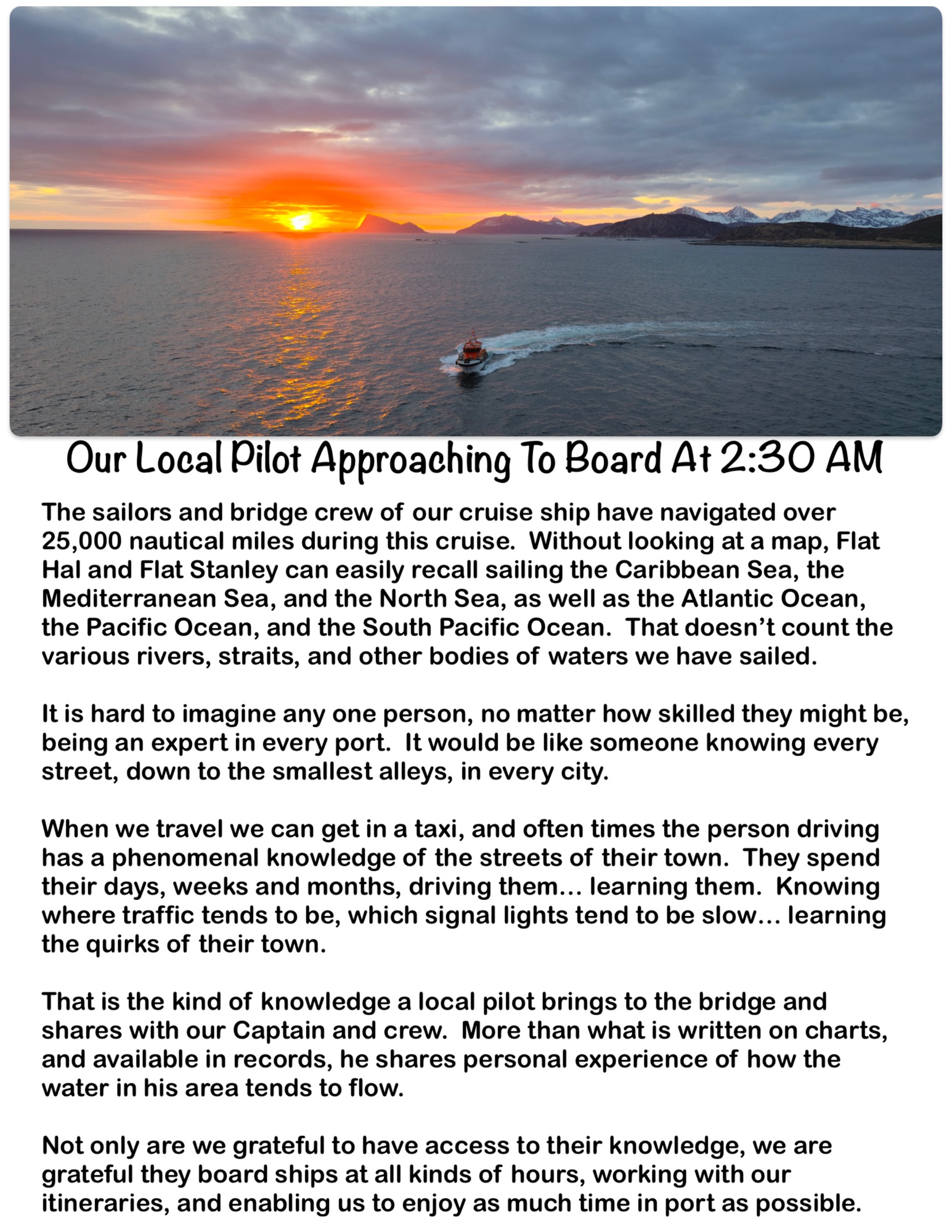
The sailors and bridge crew of our cruise ship have navigated over 25,000 nautical miles during this cruise. Without looking at a map, Flat Hal and Flat Stanley can easily recall sailing the Caribbean Sea, the Mediterranean Sea, and the North Sea, as well as the Atlantic Ocean, the Pacific Ocean, and the South Pacific Ocean. That doesn’t count the various rivers, straits, and other bodies of waters we have sailed.
It is hard to imagine any one person, no matter how skilled they might be, being an expert in every port. It would be like someone knowing every street, down to the smallest alleys, in every city.
When we travel we can get in a taxi, and often times the person driving has a phenomenal knowledge of the streets of their town. They spend their days, weeks and months, driving them… learning them. Knowing where traffic tends to be, which signal lights tend to be slow… learning the quirks of their town.
That is the kind of knowledge a local pilot brings to the bridge and shares with our Captain and crew. More than what is written on charts, and available in records, he shares personal experience of how the water in his area tends to flow.
Not only are we grateful to have access to their knowledge, we are grateful they board ships at all kinds of hours, working with our itineraries, and enabling us to enjoy as much time in port as possible.